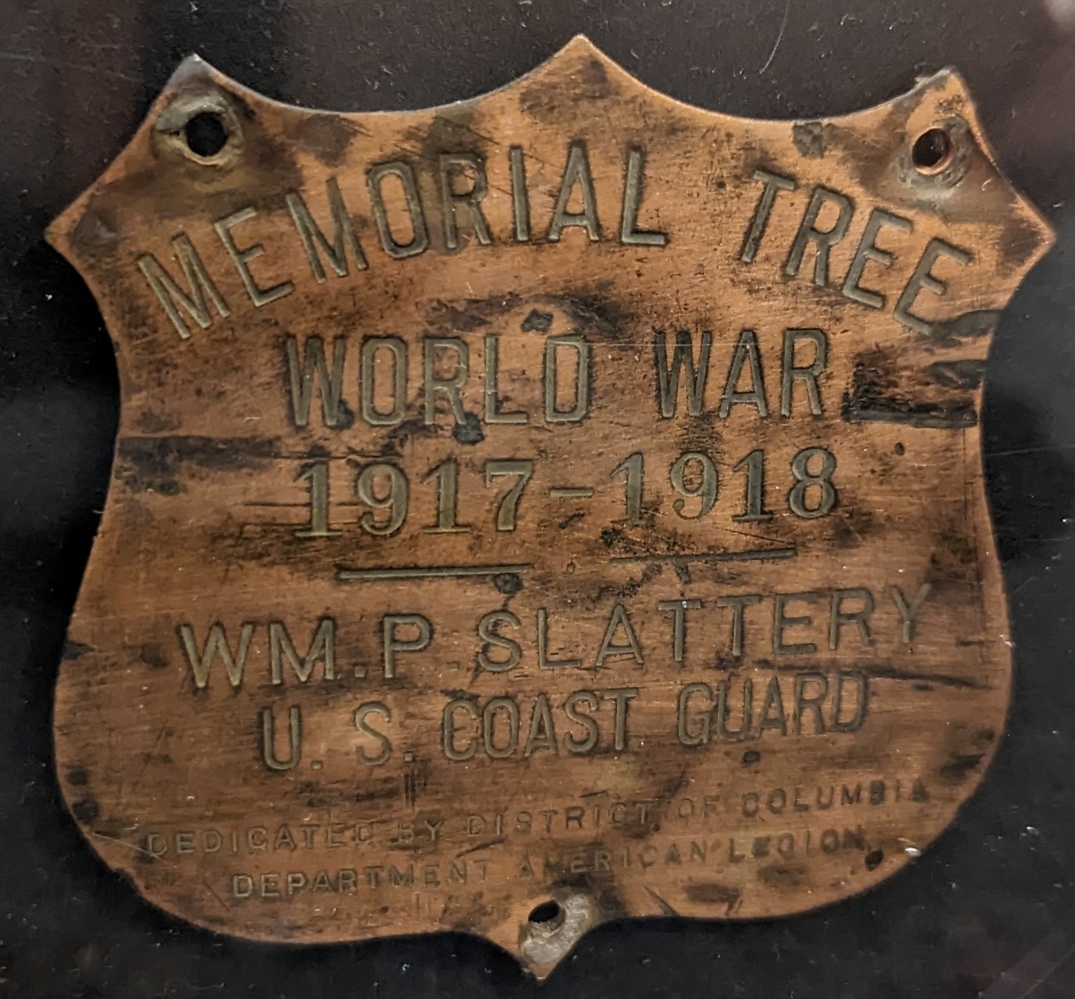
One of only 3 known remaining copper shields from DC’s 16th Street Tree War Memorial. Dedicated in 1920, two-miles of Norway Maples commemorated over 500 DC men and women killed in WWI.
For More info: https://www.facebook.com/groups/406077012199945/
One of only 3 known remaining copper shields from DC’s 16th Street Tree War Memorial. Dedicated in 1920, two-miles of Norway Maples commemorated over 500 DC men and women killed in WWI.
For More info: https://www.facebook.com/groups/406077012199945/
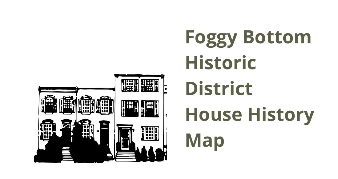

Frank Leone and Denise Vogt, founders and co-chairs of the Foggy Bottom Association History Project, have launched an innovative House History Map allowing visitors the chance to cull through sources such as historic maps, census reports, city directory data, and individual house histories for buildings located within the Foggy Bottom Historic District. Check out the map– created by Brian Kraft of Visualizing DC History and hosted on DC History Center’s website– and add your own stories, information, or photos to help build the neighborhood history:
Foggy Bottom House History map


Facing the Ellipse along 17th Street, NW (starting at the intersection of Constitution Ave across from the baseball diamond) are the Organization of American States (1910, Albert Kelsey and Paul Philippe Cret), Daughters of the American Revolution Memorial Continental Hall (1905, Edward Pearce Casey), American Red Cross Headquarters (1917, Breck Trowbridge and Goodhue Livingston), and Corcoran Gallery of Art (1897, Ernest Flagg– now the Corcoran School of the Arts and Design at George Washington University).
The newly completed “E” shaped Department of the Interior (1917, Charles Butler) filling an entire block between 18th and 19th Streets was the first federal building designed for a specific government department. Now the General Services Administration Headquarters, it is often considered the first modern government office building in the country.
Virginia Ave runs diagonally northwest from Constitution Ave towards Foggy Bottom.